BENTON COUNTY LAND BUYERS
Sell Your Land in Benton County, Mississippi
Pinnacle Property Holdings buys vacant land directly from owners in Benton County. If your property is near Ashland, Hickory Flat, Snow Lake Shores, or a rural community, share its location and what you know. We will review it for a possible direct offer, with no obligation to accept.
Property State and Property County are prefilled as Mississippi and Benton County. Share the acreage, parcel number, road access, current use, ownership, or tax details you know. Leave uncertain details blank; a parcel number is not required to start.
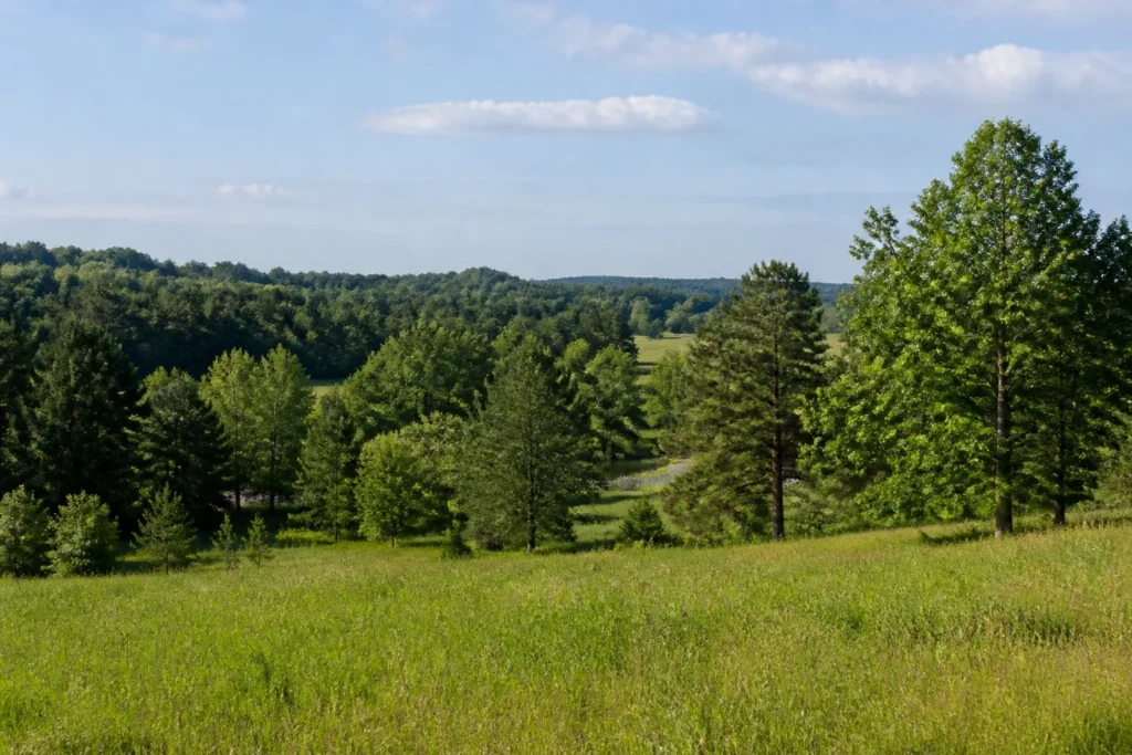
Land in Benton County: Fields, Forest, and Small Lakes
Benton County sits in north Mississippi along the Tennessee state line. Ashland is the county seat; Hickory Flat and Snow Lake Shores are other incorporated communities. The Mississippi Department of Transportation’s county map also identifies rural places including Winborn, Michigan City, Canaan, Lamar, Hamilton, Black Jack, Spring Hill, Brody, and Pine Grove. If you are describing a tract by a nearby town or road, that local reference can help start a review, but it does not establish the parcel boundary, ownership, or legal access.
Holly Springs National Forest includes land in Benton County. The U.S. Forest Service describes this north Mississippi forest as a mix of upland hardwoods, pine forests, bottomlands, and small lakes, with public forest land interspersed among private property. That setting helps explain why county parcels can include wooded acreage, clearings, seasonal low areas, and land near lakes or streams. A nearby national forest or lake does not make a privately owned tract public land or grant access across another owner’s property.
Agriculture is another part of the county’s land picture. The USDA’s 2022 Benton County profile counts 261 farms and 93,844 acres in farms. It records cropland, pastureland, and woodland, with soybeans, hay, and corn among the listed crops. These are countywide totals, not a description or value estimate for an individual property. A particular parcel may be active farmland, pasture, planted or mixed timber, hunting ground, a rural homesite, or vacant land that has been unused for years.
U.S. 72, State Routes, and Rural Access
U.S. Highway 72 is a key east-west route across northern Benton County. The MDOT county highway map also labels Mississippi Highways 2, 4, 5, 7, 178, and 370, along with local roads serving Ashland, Hickory Flat, Snow Lake Shores, and smaller communities. Lamar Road, Beck Springs Road, and Pine Grove Road are examples of local road names shown on the map. Use the MDOT Benton County map to orient yourself, then confirm a specific tract’s route and legal description separately.
Rural access can depend on more than the nearest numbered highway. A property may front a public road, sit behind a private lane, rely on a recorded easement, or have an older access arrangement that needs to be checked. Road surface and maintenance can also change between a paved route and a smaller local road. If you know how you reach the land, who maintains the road, or whether an easement is recorded, include that information when you contact us. A road visible on a map is not by itself proof of a legal right to cross it.
Farm, Pasture, Timber, and Vacant Acreage
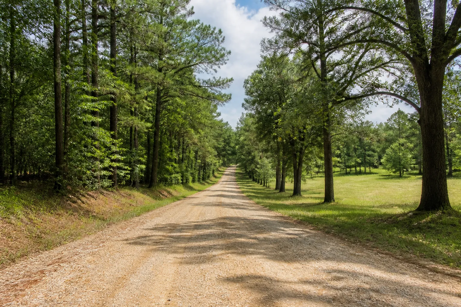
Benton County’s farm profile reflects a combination of open and wooded ground: the 2022 USDA report lists 37,219 cropland acres, 17,508 pastureland acres, and 31,459 woodland acres in farms. Soybeans account for the largest listed crop acreage, with hay and corn also reported. Those county-level figures are useful background, but they do not tell us whether your tract is currently farmed, leased, enrolled in a program, or suitable for any particular use.
Private property in the county may include crop fields, grazing or hay ground, pine or mixed hardwood acreage, small clearings, hunting and recreation tracts, and undeveloped parcels near a community or rural road. If timber has been cut or planted, or if a field or pasture is leased, let us know what you know about the timing and any written agreement. Timber rights, boundary lines, drainage, terrain, and access all need to be considered for the actual parcel rather than inferred from a county description or aerial image. Learn more about our approach to selling acreage, selling rural land, and selling vacant land.
Wooded Recreation and Water Features
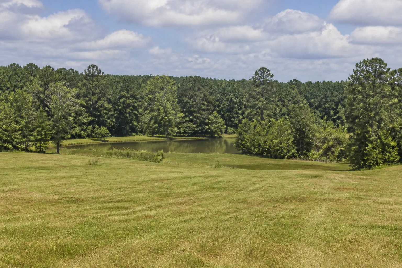
The Holly Springs National Forest and the many lakes and streams shown on the MDOT map are part of Benton County’s rural character. Owners may hold private acreage for hunting, wildlife viewing, camping, or a future homesite, while other parcels are managed for timber, farming, or a mix of uses. The Forest Service offers information about public forest recreation, but public-land rules do not automatically apply to private parcels. Hunting access, boundary lines, and permitted activities depend on ownership, agreements, and applicable regulations.
MDEQ’s Benton County flood-risk page identifies the Little Tallahatchie and Wolf River basins among the county’s drainage areas. A stream, lake, low spot, or mapped flood area may affect one part of a parcel differently from another. Check the exact location through the MDEQ Benton County flood-map page and FEMA’s Flood Map Service Center. Online maps are screening tools; they do not replace a site inspection, survey, or current determination for a specific parcel.
Why Benton County Owners Consider Selling
Some landowners inherit a family farm, timber tract, or rural lot but live too far away to visit it regularly. Others no longer hunt or farm the property, have no plans to build, or want to simplify ownership shared among relatives. Even when the land has been held for a long time, annual taxes, mowing, boundary questions, a private-road arrangement, or the effort of coordinating upkeep can make continued ownership less useful for the family.
Inherited property can also involve an estate, several heirs, older deeds, or uncertainty about who is authorized to sign. Owners may have questions about back taxes, recorded liens, timber rights, or a parcel that is difficult to locate on the ground. You do not need to resolve every question before contacting Pinnacle Property Holdings. We buy directly rather than acting as an agent, review each parcel individually, and make no promise that every property will qualify. Any offer is yours to consider, and there is no obligation to accept it. For more on common situations, see selling inherited land and land with back taxes.
Details That Help Us Review a Benton County Parcel
We start with what you know about the individual property. You do not need a complete file to ask us to review it. Helpful details may include:
- Location: a road, nearby community, parcel or PPIN number, legal description, or map that helps identify the tract.
- Size and shape: approximate acreage, known boundary markers, a survey, or any information about divided or adjoining parcels.
- Ownership: current owners, co-owners, heirs, estate status, and any documents that show who can discuss a sale.
- Access: road frontage, a private road, gate, easement, route condition, and maintenance responsibility if known.
- Land cover and use: crop or pasture use, timber history, open areas, improvements, leases, or recreational use.
- Records and conditions: known taxes, liens, drainage concerns, nearby water, or flood-map information.
We may ask follow-up questions or review available records and maps. An online parcel layer or tax appraisal is not a title opinion, survey, environmental review, or guarantee of value. Current ownership and recording details should be confirmed with the appropriate county office or qualified professional.
How a Direct Land Review Works
Our process is designed to be straightforward and low-pressure. You can begin with the location and whatever information you already have. For more detail, visit How Our Land Buying Process Works.
- Tell us about the property. Share the county, approximate acreage, parcel number if available, and the best way to reach you.
- We review the details. We consider location, access, ownership, land cover, taxes, and other information relevant to that parcel. We may ask you to clarify a point.
- Consider a potential offer. If the land fits our current buying criteria, we may present an offer for you to review. You can accept or decline.
- Coordinate closing. If you choose to move forward, we work through the documents and title steps needed for that property with the appropriate closing professionals.
If a letter from us brought you here, see Received a Letter. You can also learn more about Pinnacle Property Holdings and how we work directly with landowners.
Benton County Property and Land Resources
These links can help you find county-specific records and maps. Online appraisal, tax, and deed information can be incomplete or lag behind recorded activity, so verify important details with the responsible office. None of these links is a substitute for a current survey or title review.
- Benton County Tax Assessor/Collector: the county office describes its role in taxable-property records, assessments, property taxes, and maps or appraisal information.
- Benton County Chancery Clerk: county information for the clerk’s office, which serves as custodian of public land records and oversees land redemption.
- Benton County online deeds and records search: an online search for recorded documents. The portal cautions that online copies may not be complete or official; confirm records with the Chancery Clerk.
- MDOT Benton County highway map: county road, highway, town, water-feature, and forest-map context.
- U.S. Forest Service: Holly Springs National Forest: information on the national forest, recreation sites, and public-land setting in north Mississippi.
- MDEQ Benton County RiskMAP and FEMA Flood Map Service Center: county-level and address-based flood-hazard map resources.
- USDA 2022 Benton County agricultural profile: county-level farm and land-use statistics, not parcel-specific data.
Benton County Landowner FAQs
Do you consider wooded land near Holly Springs National Forest?
Yes, you can ask us to review private wooded acreage in Benton County. We look at the particular tract, its ownership, access, location, and other details. Being near the national forest does not mean a privately owned parcel is part of the forest or carries public access rights.
Can I ask about a Benton County farm, pasture, or hay field?
You may send us information about vacant or rural farm property, pasture, or open ground. Current use, leases, access, acreage, and ownership can all be relevant. USDA county statistics describe aggregate farm activity and do not determine whether an individual property fits our buying criteria.
Do you buy land near Ashland, Hickory Flat, or Snow Lake Shores?
We review land by its parcel location, not only by its town name. If the property is near one of these communities or elsewhere in Benton County, share the road or parcel information you have and we will consider the details individually.
What if my land has no obvious road frontage?
Tell us how you currently reach it and whether you know of a recorded easement, private road, gate, or access agreement. A route shown on a map is not proof of legal access. We may need to review deeds or other records before the access question is clear.
Where can I check Benton County taxes or appraisal maps?
Start with the county’s Tax Assessor/Collector page, which links to tax and appraisal resources. For deeds and other recorded documents, contact the Chancery Clerk or use the online search as a preliminary reference. Confirm parcel-specific records with the county office.
Could a lake, creek, or low area affect a parcel?
It can be worth checking, but a nearby water feature does not tell you the mapped flood status of the whole property. Search the location in the MDEQ Benton County mapping page and FEMA’s Flood Map Service Center, then confirm current conditions for the exact parcel.
Can you review inherited land or property with unpaid taxes?
You can tell us if the land is inherited or if you know of unpaid taxes, liens, or ownership questions. Those details may affect the review and the steps required to close. We cannot promise that every issue or property will qualify, but you do not need every answer before asking.
Do I have to accept an offer?
No. If we decide to make a potential offer, you can consider it without an obligation to proceed. We buy directly for our own investment purposes and do not act as your real estate agent.
To get started, use the Benton County land offer form above. You can also visit our Mississippi land page, read the pages for Wayne County and Greene County, or explore land with liens and rural land.