ATTALA COUNTY LAND BUYERS
Sell Your Land in Attala County, Mississippi
Pinnacle Property Holdings buys vacant and rural land directly from owners in Attala County. Whether your property is wooded, open, inherited, or simply no longer part of your plans, share its location and what you know for an individual review and a possible direct offer.
Property State and Property County are prefilled as Mississippi and Attala County. Share acreage, parcel number, access, current use, ownership, or tax details if known. Leave uncertain items blank; you can start without a parcel number.
Attala County Land: Hills, Creek Bottoms, and Rural Acreage
Attala County lies in central Mississippi, with Kosciusko as its county seat. The Mississippi Department of Transportation map also marks the towns of Ethel, McCool, and Sallis. It labels rural communities and local places including McAdams, Zama, Zemuly, Center, Newport, McVille, Dossville, Weeks, Earlyville, Smyrna, Hesterville, Possumneck, Williamsville, and Round Lake. If you know the nearest community or road, that can help identify a property, but it is only a starting point for confirming its parcel boundaries and ownership.
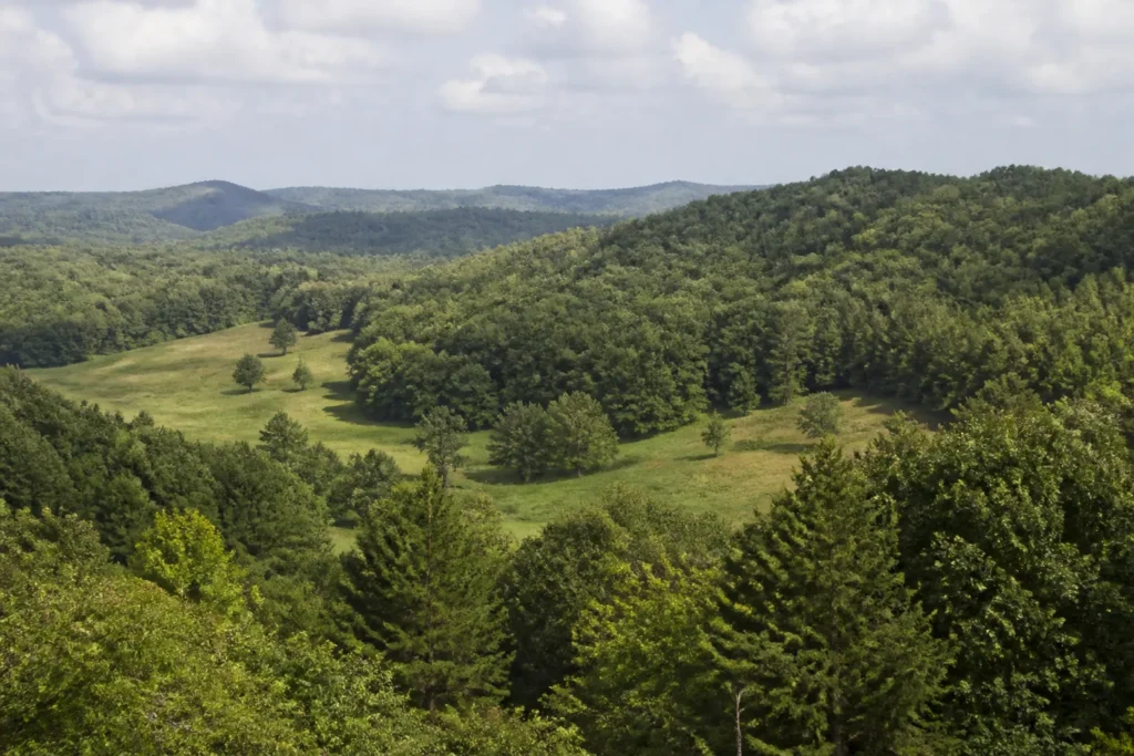
The landform is a notable part of Attala County’s character. The Mississippi Department of Environmental Quality’s geological bulletin describes the county as part of the North Central Hills, with deeply dissected uplands, rounded hills, ridges, and valleys. Broader alluvial areas follow the Big Black River along the western side of the county and other waterways such as the Yockanookany River and Lobutcha Creek. This can mean a parcel on a ridge, a sloping wooded tract, and a low creek-side field have very different access, drainage, and use considerations. No countywide description can establish the conditions of an individual parcel.
Agriculture and woodland are both significant in county-level records. The USDA’s 2022 Attala County profile reports 412 farms and 145,490 acres in farms, including 96,273 woodland acres, 25,854 cropland acres, and 14,883 pastureland acres. It reports a larger livestock share of farm sales than crop sales, with hay, soybeans, and corn among its listed crops. These are county totals, not a parcel appraisal or a promise about what a particular tract can produce.
Highways and Routes around Kosciusko and Attala County
Mississippi Highways 12, 14, 19, 35, and 43 are important numbered routes shown on the county’s road network. The Natchez Trace Parkway also crosses the area, and the MDOT county map shows how state routes, county roads, and local roads connect Kosciusko with Ethel, McCool, Sallis, McAdams, and other communities. Friendship Road, Old Center Road, and River Hill Road are examples of local road names on the map. You can use the MDOT Attala County highway map for orientation, then verify route access for the exact property.
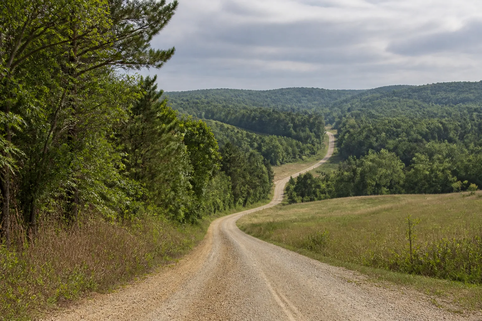
In a hilly county, the route on a map may not tell the whole access story. A tract may be reached from a state route, a maintained county road, a private lane, a recorded easement, or a route that changes with weather and maintenance. A mapped road or apparent path does not prove a legal right to use it. If you know whether the property has frontage, an easement, a gate, an access agreement, or a road-maintenance arrangement, include that information when you contact us.
Woodland, Livestock Ground, Hay Fields, and Vacant Lots
Attala’s agricultural profile shows why it is useful to ask what a specific parcel is actually used for. The 2022 USDA Census of Agriculture records far more woodland acres in farms than cropland or pastureland, and reports that livestock, poultry, and related products made up 63% of farm sales. Hay was the leading listed crop by acreage, followed by soybeans and corn. The statistics can help describe the county’s mix of wooded and working ground, but an individual tract may have a different cover, history, or use.
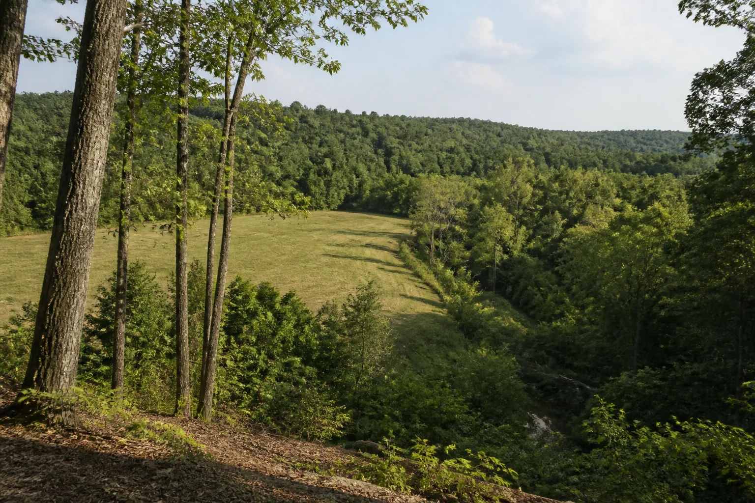
Property owners may have timber or mixed hardwood acreage, hay or grazing ground, small crop fields, a rural homesite, recreation land, or undeveloped parcels outside the incorporated communities. Hillside and bottomland conditions can vary within the same ownership. Past timber work, a farm lease, a fence, an old structure, a water feature, or an access track may be useful context. If you know of any of these details, tell us what you know; we will not infer timber volume, usable acreage, or property value from an aerial image. See our pages on selling acreage, selling rural land, and selling vacant land.
Recreation, Timber, and Waterway Considerations
Wooded Attala County parcels may appeal to owners who have used them for hunting, wildlife observation, or a quiet place to spend time outdoors. Other owners hold woodland for timber or family inheritance without using it regularly. A tract’s actual recreation potential depends on access, boundaries, terrain, any leases or restrictions, and the owner’s rights. Being near a river or creek does not automatically provide water access or permission to cross adjoining property.
MDEQ’s county mapping places Attala within both the Upper Big Black River and Upper Pearl River sub-basins. The river and creek bottoms, smaller drainage ways, and hillside runoff can make parcel-level flood and drainage review important, particularly where land approaches the Big Black River, Yockanookany River, or Lobutcha Creek. Start with the MDEQ Attala County RiskMAP page or the FEMA Flood Map Service Center, and confirm any important question using current information for the specific property.
Why Attala County Landowners May Decide to Sell
Landowners contact us for different reasons. An inherited tract of timber or family farmland may be hard to manage when heirs live in different places. A small parcel may no longer be used for hunting, hay, pasture, or a future homesite. Some owners are ready to stop paying taxes on land they rarely visit, while others have changed plans or want to simplify the records and responsibilities associated with ownership.
Attala’s hills, creek valleys, and rural road network can make it especially helpful to understand how a parcel is reached and what parts of it are usable to its current owner. Older deeds, unclear boundaries, an estate, shared ownership, back taxes, or a lien may also create questions. You can start a conversation before you have every answer. Pinnacle Property Holdings buys directly rather than acting as an agent; we consider each property individually and do not make unsupported promises about value or eligibility. Any offer is optional. Learn more about selling inherited land and land with back taxes.
What Helps Us Review an Attala County Property
We begin with the parcel and your goals. You do not need to assemble every document before making an inquiry. Helpful information can include:
- Where it is: the nearest road or community, parcel number, PPIN, legal description, or a map pin.
- Ground and layout: approximate acreage, known boundary information, whether the land includes slopes, fields, timber, creek bottom, or an old homesite.
- Access: road frontage, a private lane, easement documents, gate, seasonal access concern, or known maintenance arrangement.
- Current or past use: timber activity, grazing or hay use, crop history, hunting or recreation, leases, and improvements.
- Ownership: current owners, heirs, estate details, co-owners, or questions about who may sign.
- Known records or costs: taxes, liens, recorded easements, drainage observations, or flood-map questions.
We may ask a follow-up question or review available records and maps. A tax map, flood layer, or aerial image cannot replace a survey, title review, field visit, or qualified professional’s advice. Parcel details and legal rights should be verified through current records for the property.
A Simple, No-Pressure Way to Start
We aim to make a land sale straightforward, with clear communication and no pressure to accept an offer. Our land buying process page explains each step in more detail.
- Tell us about the land. Share its location, approximate acreage, contact information, and any parcel number or records you have.
- We review the property. We consider the individual parcel’s location, access, cover, ownership, and other relevant information, and may ask you to clarify something.
- Review any offer. If a property fits our current buying criteria, we may provide an offer for you to consider. You decide whether it works for you.
- Coordinate closing steps. If you choose to proceed, we work with the appropriate closing professionals to handle the documents and title requirements for that property.
If you received a letter from us, visit Received a Letter. For more about the company, see About Pinnacle Property Holdings.
Attala County Records, Maps, and Local Resources
County and federal resources can help you research a parcel, but online maps and tax information should be treated as starting points. Contact the responsible office when you need current records or an answer about a particular parcel.
- Attala County Tax Assessor: county information about property assessment and ownership maps.
- Attala County Chancery Clerk: office information for deeds, mortgages, liens, land rolls, and other recorded property documents.
- Attala County Tax Collector and tax map: county tax information and the county-linked map portal. Use map results for reference and confirm ownership or boundaries with official records.
- MDOT Attala County highway map: state routes, county roads, communities, and local map features.
- MDEQ geological bulletin for Attala County: background on county topography, geology, and waterways; it is regional context rather than a current parcel report.
- MDEQ Attala County RiskMAP and FEMA Flood Map Service Center: resources for mapped flood hazards. Search the exact property and verify current information.
- USDA 2022 Attala County agricultural profile: county-level information about farms and land uses, not an estimate for an individual parcel.
Attala County Landowner FAQs
Do you consider hilly or wooded land in Attala County?
You can ask us to review wooded acreage or land with slopes. Attala County has varied terrain, so we consider the individual parcel, access, acreage, cover, ownership, and other details instead of assuming all hillsides or timber tracts are alike.
Would land near the Big Black River or Yockanookany River be considered?
You may submit a property near a river or creek for review. The exact location, legal access, drainage, flood-map information, and parcel boundaries matter. Nearby water does not guarantee frontage, recreation access, or a particular flood status.
Do you review hay fields, pasture, or other farm property?
We consider information about vacant and rural property, including some parcels with hay, pasture, or agricultural history. Share what you know about current use, leases, acreage, access, and ownership. County farm statistics cannot determine whether a particular tract will qualify.
How do I find an Attala County deed or property map?
The Tax Assessor’s page provides office information about property assessment and maps. The Chancery Clerk handles deeds and other land records, while the Tax Collector site links to a tax map. Confirm parcel boundaries and recorded ownership through the county’s current records.
Can I ask you to review inherited property?
Yes. Tell us whether there are multiple heirs, an open estate, co-owners, or uncertainty about who may sign. Ownership authority and title requirements may need to be resolved before a closing, but you can start with the details you already have.
What if I do not know the exact acreage or parcel number?
You can still contact us. A nearby road or community, approximate location, and anything you know about the property can help us begin. Tax maps and county records may help identify a parcel, but an estimate should not be treated as a surveyed acreage.
Can you review land if I live outside Mississippi?
Yes, you can contact us from another state. Let us know the property location and who owns it. If you decide to move forward with a potential offer, all required owners and closing professionals will need to complete the appropriate documents.
Am I required to accept a direct offer?
No. Asking for a review does not obligate you to sell. If we make an offer, you can consider it and decide whether to accept, decline, or ask questions before making a decision.
When you are ready, use the Attala County land offer form above. You can also visit our Mississippi land page, read about Wayne County or Greene County, and explore land with liens or rural land.