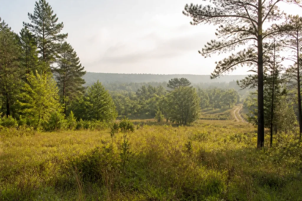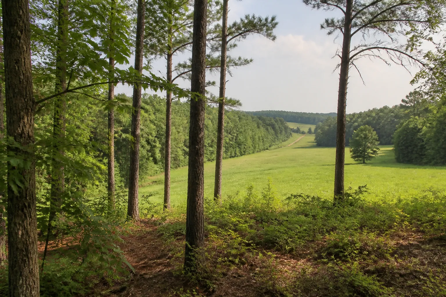
If you are asking, “How much is my land worth in Mississippi?”, the honest first answer is that there is no single statewide price that fits every parcel. A wooded tract with good road access, a small homesite near town, and a low-lying parcel with unclear access can attract different buyers and different offers, even if they are in the same county.
You can build a useful starting range by comparing recent sales of similar land and checking the details that affect how a buyer can use the property. Online research is not an appraisal, and an asking price is not proof that a property sold for that amount. This guide explains what to compare and where Mississippi owners can look for reliable records.
Why land values vary so much in Mississippi
Land is not a uniform product. Value depends on what the parcel is, where it sits, what a buyer can legally and practically do with it, and how many likely buyers are looking for that kind of property. Two tracts with the same acreage may have different value if one has dependable road frontage and usable utilities while the other has difficult access or substantial drainage limits.
Property type matters too. A recreational tract, timber acreage, open pasture, a rural homesite, and a vacant lot near services may each attract a different buyer pool. Local demand can also vary between counties and between areas within a county. That is why broad claims about a Mississippi land value per acre are a poor substitute for nearby, comparable sales.
How recent comparable land sales help
Comparable sales, often called “comps,” are completed sales of properties that resemble the parcel being considered. They help show what buyers have recently paid in a particular area. A comp is most useful when the land type, location, size, access, and potential uses are reasonably similar.
Start with completed sales, not just listings
A listing shows what an owner hopes to receive. It does not show whether a buyer accepted that price. When you can, look for recorded transfers or sale information from reliable local sources, then compare that with current listings for context. Sale dates matter because local conditions and buyer demand can change.
Compare the details, not only the county name
A sale several miles away may be less useful than a closer property with a different use or access situation. Note whether each comp is wooded, open, improved, divided into smaller lots, or part of a larger tract. Check road frontage, utilities, shape, topography, flood exposure, and any known restrictions. If the details are not clear, mark the comp as a rough reference rather than treating it as a direct match.
For more background on the questions involved in a buyer’s review, see our What Is My Land Worth? page. It is a place to start a conversation, not a substitute for a licensed appraisal.
Why price per acre can be misleading
Price per acre is calculated by dividing a sale price by the number of acres. It can help compare similar tracts, but it is easy to misuse. If you are asking how much land is worth per acre in Mississippi, first make sure the examples come from the same local market and have similar characteristics. A statewide or countywide average can mix small lots, large timber tracts, pasture, recreational land, and properties with very different access.
A smaller parcel may have a different per-acre figure than a larger tract because the likely buyers, usable area, and potential uses are different. A simple calculation also treats every acre as equal, even when some portions are steep, wet, landlocked, or otherwise less usable. Compare total prices and property details alongside the per-acre math. Do not multiply one attractive comp’s rate by your acreage and assume that is a sale value.
What affects land value in Mississippi?
When estimating vacant land value in Mississippi, work through the features that change a buyer’s options, costs, or risk. A feature can help one buyer and matter less to another, so it is better to record what you know than to assume a feature automatically adds a fixed amount.
Acreage, shape, and usable area
Confirm the acreage shown in your deed, tax record, and any survey you have. Those sources may describe the property differently. Parcel maps and online GIS layers are useful for orientation, but they are not boundary surveys. Shape, frontage, and the location of wetlands, slopes, or drainage areas can affect how much of a tract is practical to use. If a precise line or acreage is important to a sale, ask a licensed surveyor what is needed.
Road access and frontage
Look for the route a person can actually use to reach the land. Direct frontage on a public road is different from a recorded access easement, and both are different from a path that is simply used by neighbors. Check the deed and recorded documents for access rights, and find out who maintains a private road. A buyer may want to verify legal access before relying on a map or a verbal description.
Utilities and terrain
Note whether electricity, public water, sewer, or other services are at the property, nearby, or not known. Do not assume a line at the road means a connection is available or inexpensive. A utility provider or local authority can explain what service may be available and what questions to ask. For a rural homesite, slope, soil, drainage, and possible septic suitability may also matter. Buyers should verify those conditions for their intended use.
Timber, wooded acreage, and open pasture
For timberland, useful details may include the types and age of trees, whether there are recent timber records, where equipment can enter, and whether timber rights are included in a sale. A recent harvest can change the appearance and future use of a tract. A landowner who needs a timber inventory or harvest estimate can ask a qualified forester rather than guessing from the number of acres or tree cover.
Open land and pasture may draw attention to fencing, access to water, ground conditions, drainage, and the work needed to maintain the property. Those details should be described accurately. A buyer’s plans and ability to use the land are more relevant than a label such as “farm land” by itself.
Recreational use, hunting, flood zones, and drainage
Wooded cover, water features, wildlife habitat, and quiet access may matter to a recreational or hunting buyer. Those features do not guarantee a particular price. Check that access is lawful, and be clear about any timber, mineral, hunting, or other rights that may or may not transfer.
Review drainage on the ground and check the FEMA Flood Map Service Center for mapped flood information. A map is a useful screening tool, not a promise that an unmapped area will never flood. Local drainage, culverts, low spots, and past water issues may call for additional investigation.
Title, liens, taxes, and access problems
Ownership records and property obligations can affect which buyers are able to proceed and how long a sale takes. Check that the owner names and legal description are consistent with the records you have. Unresolved estate or co-owner questions, recorded liens, unpaid property taxes, disputed access, or a missing deed can require attention before closing. A quick online parcel search cannot resolve every title question.
If back taxes or a lien are part of your situation, gather the relevant notices and ask the county office or a closing professional what the records show. Our pages on selling land with back taxes and selling land with liens explain the kinds of questions owners can raise with a buyer. They are not legal advice, and the right next step depends on the documents and circumstances.
Why tax-assessed value may differ from a sale price
A county tax record is useful, but it is not automatically the price a willing buyer would pay today. Tax records are part of the property-tax system. Timing, assessment rules, property class, available property details, and the purpose of the valuation can all differ from a current negotiation between a seller and buyer. Treat the assessed value as one reference point, not a current appraisal or guaranteed market value.
The Mississippi Department of Revenue’s local property appraisal page explains the roles of local tax assessors, tax collectors, and Chancery Clerks. Its property tax data page provides state and county tax information and contacts. For a specific parcel, check with the county office responsible for the record you need.
Why a cash offer may differ from a traditional listing price
A listing price is a seller’s asking price. The eventual sale depends on whether a buyer is found, what the buyer verifies, and what both sides agree to at closing. A direct buyer’s cash offer is a purchase offer based on that buyer’s review of the parcel and the costs, time, and uncertainty the buyer expects to take on. It is not an independent appraisal.
Some owners value a public listing and are willing to handle marketing, questions, showings, negotiations, and an uncertain timeline. Others prefer to compare a direct offer with the likely net amount from a listing after any selling costs and the time involved. Compare the written terms, closing process, who pays which costs, and any contingencies. Our pages on cash offers for land and how the land buying process works describe our direct-buying approach. You can also read about selling rural land or selling acreage.
Practical ways to research your Mississippi property
- Gather the basics. Find the parcel number, latest tax statement, deed, legal description, and any survey, timber records, access agreement, or prior listing.
- Check county sources. Use the Tax Assessor for parcel and assessment information, the Tax Collector for tax status, and the Chancery Clerk for recorded land documents. County GIS maps can help you locate a tract, but do not treat map lines as a survey.
- Look for recent comparable sales. Focus on nearby properties with similar acreage and use. Separate completed sales from asking prices, and note when and how the information was obtained.
- Verify access and utilities. Look at the route to the property, read any recorded access documents, and ask the relevant road authority or utility provider about questions you cannot answer from the records.
- Review terrain and flood information. Visit the property if possible, note low areas and drainage, and use FEMA’s map as one part of your research.
- Ask for specialized help where it matters. A licensed appraiser can provide an appraisal. A surveyor can address boundary questions. A forester can help assess timber. A title or closing professional can review ownership and recorded claims.
- Keep a range, not a promise. Record what supports your estimate and what remains uncertain. If you request an offer, compare it with your research and the written terms instead of assuming any one estimate is definitive.
Mississippi-specific resources and local pages
Mississippi property research is often county-specific. The state Department of Revenue explains local property appraisal and points owners toward county assessor, tax collector, and Chancery Clerk contacts. The Chancery Clerk is the place to ask about recorded land documents; the Tax Assessor and Tax Collector handle different property-tax records. Start with the county where the parcel is located, because online systems and available records can vary.
For mapped flood information, use the FEMA Flood Map Service Center and follow up locally when the ground conditions or drainage history are unclear. For a general view of our Mississippi buying areas, visit the Mississippi land buying page. Our local pages for Franklin County, Walthall County, Amite County, and Wayne County offer county-specific selling information. They are not land-price charts, so use local records and comparable sales for valuation research.
Common questions about Mississippi land value
Is there one average price per acre for Mississippi?
A statewide average may combine land types and markets that are not comparable to your parcel. Use local completed sales with similar acreage, access, and property characteristics instead of treating one average as a valuation.
Can I use my tax assessment as my asking price?
You can consider it as one data point, but it is not automatically a current sale price or appraisal. Compare it with recent sales and the details of your property.
Can I estimate the value of wooded land from aerial imagery?
Aerial images can help you see broad cover and access patterns, but they do not confirm timber volume, legal access, boundaries, drainage, or the condition of the land. Use records and an in-person review, and ask a qualified forester or other professional when needed.
What should I do if I cannot find good comparable sales?
Be clear about that uncertainty. Widen the search carefully, compare the closest available properties, and consider asking a local land professional or licensed appraiser for help. Do not force a weak comparison into a precise number.
Get a no-pressure offer if you want another reference point
If you are weighing what your land may be worth against the time and work of selling it, Pinnacle Property Holdings can review the property and provide a direct offer for consideration. An offer is not an appraisal, and you are not obligated to accept it. Share the parcel location and the details you have, then compare the written terms with your own research.
This guide is educational information, not an appraisal, legal advice, or tax advice. For a valuation or guidance about your specific property, consult an appropriately qualified professional.